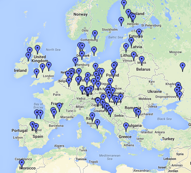
 After the CQ WPX RTTY contest I wanted to see my QSOs on a map. I had done this for the K2BSA Jamboree operation but just couldn’t remember exactly how I had done it. So a bit of a search turned up a new approach entirely QSOmap.org
You register on the site and then upload your ADIF file. In this case, I uploaded the ADIF file from the contest log and, after a bit of processing time, there it was. Here’s a snap shot of Europe. Click on the image for a bigger version. The map has the usual features of showing the entire world or just an area. You can click on the pins and it will provide detailed information on the station.
My big interest was to get a better feel for the stations I was able to work via my Moxon beam and just 5 watts, all on 15 meters. Pretty good results. I recommend that you try it out.


